GEO CONTEXT
Geospatial context for informed and strategic decisions
Facilitating GEO data decisions by:
Conforming to your data warehouse
Designing frameworks and maps
Building and scheduling Workflow
Accessing to Data Observatory datasets
Managing API tokens for apps
Make maps and perform geospatial analysis together
Share insights, apply complex spatial analysis, and visualize data in real-time, all within a single platform designed for teamwork.
Developping GEO AI benefits for:
Designing & running your spatial analysis
Going deeper with Machine Learning
Operationalizing your Workflows
Accelerating location opportunities
Driving global decision-making
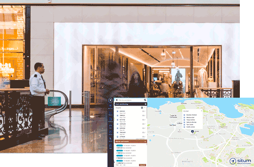
Delivering Geo-management for:
Mapping indoor and outdoor
Managing buildings & services
Visualizing geoanalytics of team
Tracking furniture and equipment
Monitoring events